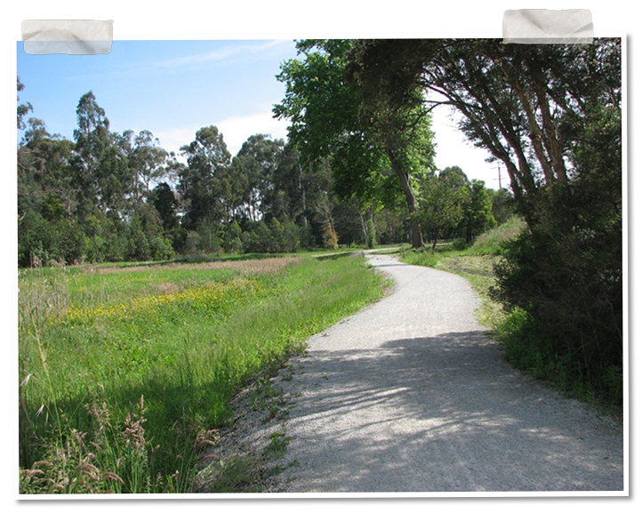

Walking the Olinda Creek Trail between York and Hull Roads, you'd never guess that this was once 'the place for a village'.
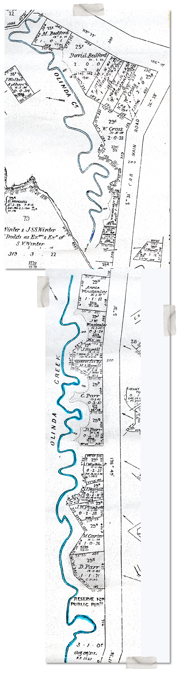
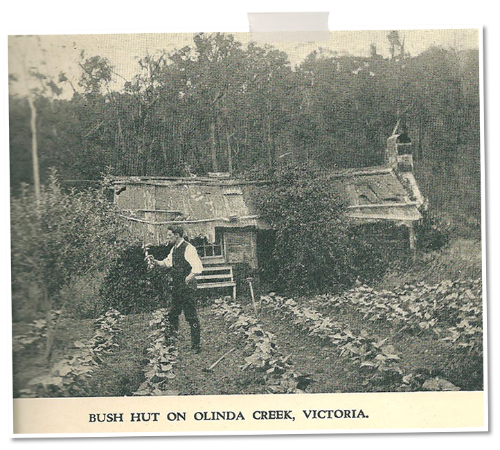
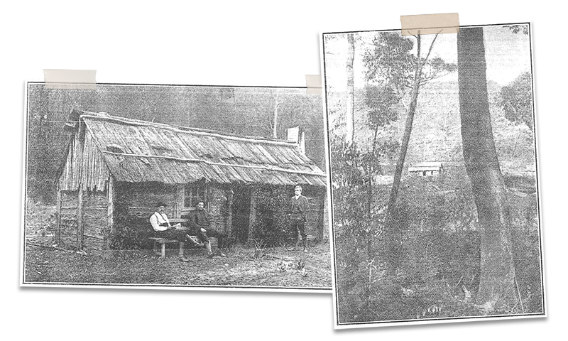
Originally a reserve, the strip of land between Swansea Road and the creek was subdivided for a Village Settlement in the 1890s. A dozen or so families took up small blocks of one or two acres, erecting 'unpretentious dwelling houses' of slab and bark or weatherboard. Even in its day, the 'Olinda Creek Settlement' or 'Olinda Vale' was little known to outsiders.
'Few people are acquainted with the charming settlement on the Olinda Creek, about two miles south-east of Lilydale. … The spot is a secluded one, because there is no direct public road to it from Lilydale, and access thereto can only conveniently be obtained by the courtesy of Mr. David Mitchell, who kindly permits the settlers to cross his estate, and so avoid the roundabout and impossible road up to the Olinda Vale railway station and thence to Lilydale.' Lilydale Express, 15 November 1901: https://trove.nla.gov.au/newspaper/article/258502680
Settlers' names included: Winstanley, Bedford, Cross, Hennessy, Miley, Moloney, Parr, Makin, Carter, Woodham, Plunkett and Hamill. 'The first person to discover the beauty of the locality and to appreciate the richness of the soil and its suitability for horticultural pursuits was Mr. William Winstanley.' The Lilydale Express praised Winstanley's fruit trees, maples, roses and bulbs.
When the railway to Warburton opened in 1901, the station on the ridge took the village name: 'Olinda Vale'. The township that became Mt Evelyn grew up round the station.
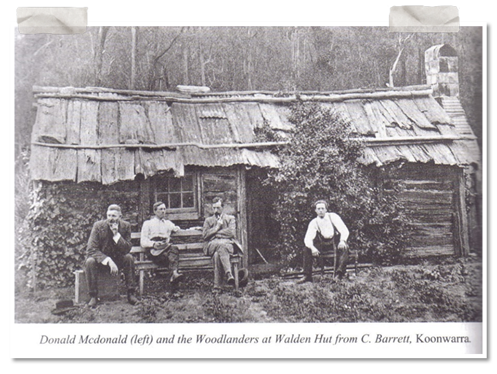
In 1903, nature writer Charles Barrett and friends ('The Woodlanders') rented David Parr's bark hut 'Modesty Cottage' as a base for their birdwatching. Barrett's journal articles made it modestly famous as 'Walden Hut'.
Swansea Road opened as a through road in 1911. About 1916 Clarence Earle and James Paton Beveridge began building their log cabins 'Wyuna' and 'Appin' on the east side of the road.
In the 1990s the creek flats were deemed too flood-prone for habitation, and were resumed as reserve. 'Naught but tradition remains' of the village, apart from a few European trees, and masses of jonquils in early spring. Aboriginal artefacts have been found in the area, as recorded on historical signage.
Here was our original village site, formerly within the Mt Evelyn postcode, but now falling outside our boundaries.
William Blamire Young's painting 'Olinda Vale' shows one of the village houses in the foreground. http://www.artnet.com/artists/william-blamire-young/olinda-vale-AwY1s2F35eh6TMxZ06a_XA2